
Get ready now for thunderstorms in parts of the Midwest-Gascoyne, Goldfields-Midlands, Perth Metropolitan, Great Southern, South West, Lower South West
If you live in Central West, Lower West, South West, South Coastal, Great Southernand parts of Central Wheat Belt districts. you need to get ready now for the thunderstorms coming tonight.
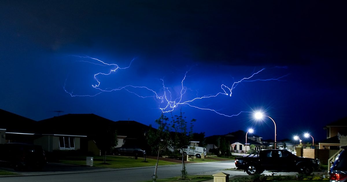
This weather is not unusual for this time of year, but could damage homes and make travel dangerous.
What to do
The Department of Fire & Emergency Services (DFES) has these tips to help you and your family get ready now:
- Store or weigh down loose objects around your home like outdoor furniture that could be picked up and thrown by strong winds, causing damage or injury
- Ensure your emergency kit is complete including a battery operated radio, torch, spare batteries and first aid kit
- Ensure pets and animals are in a safe area
- Move vehicles under cover
- Boat owners should securely moor their boats
- Campers should find safe shelter away from trees, powerlines, storm water drains and streams
- Unplug electrical appliances and avoid using landline telephone if there is lightning.
If you are away from home contact family or friends to prepare your property
Weather Details
Earlier today, the Bureau of Meteorology advised a strong cold front will affect western and southern parts of WA from 5pm Thursday through to Friday morning.
Warm, fresh to strong and gusty northerly winds are expected ahead of the cold front over the Gascoyne, South West Land Division and the Goldfields. Showers and squally thunderstorms are expected with the passage of the cold front and for the several hours after.
The leading edge of the cold front will move east to lie near the southwest Capes at around 5pm Thursday, reaching Kalbarri to Perth to Walpole at around 8pm and Murchison to Cunderdin to Albany around 11pm Thursday night.
Damaging winds with gusts to 100 kilometres per hour are likely over the warning area, particularly during the onset of the showers and thunderstorms as the leading edge of the front passes through.
Dangerous gusts in excess of 125 kilometres per hour that could cause significant damage or destruction to homes and property are possible in exposed coastal areas, particularly near the west coast south of Jurien Bay, and are most likely with the onset of the showers and thunderstorms.
Higher than normal tides may cause flooding of low-lying coastal areas near the west coast south of Kalbarri and particularly in the Geographe Bay area, including Busselton and Dunsborough.
Locations which may be affected include Albany, Bunbury, Busselton, Geraldton, Kalbarri, Katanning, Mandurah, Manjimup, Margaret River, Merredin, Moora, Mount Barker, Narrogin, Northam and Perth.
Road closures and conditions
Some roads may be closed. Take extra care on the roads and do not drive into water of unknown depth and current.
Road information may also be available by calling Main Roads WA on 138 138 or visiting www.mainroads.wa.gov.au or your local council.
If you need assistance
- If your home has been badly damaged by a storm, call the SES on 132 500
- In a life threatening situation call 000
After a storm, State Emergency Service (SES) volunteers make temporary repairs to homes that have been badly damaged, such as roofs that have been ripped off or large fallen trees on homes or cars. Please contact your insurance company to organise permanent repairs.
Updates will be provided when the situation changes.